Logan County JULIE Members Become First to Reach 100% County Polygon Database Representation
Since the mapping system, that is part of JULIE’s Newtin software solution, was implemented in 2007, a significant majority of JULIE members have converted their “area of notification” databases from the original existing grid scheme to polygon representation of their facility area. Earlier this year, JULIE members in Logan County became the first county where all 54 of the JULIE members have converted 100% of their facility notification databases from grids to polygons.
When a JULIE member makes the investment to convert from grids to polygons, the result for most members has been a reduction of non-conflict tickets sent to their company or municipality. Since JULIE members are more accurately able to outline their service areas with polygons, the Newtin system can more precisely determine if a member might be involved.
Benefits of Converting from Grids to Polygons
- Potential reduction of non-conflict tickets
- Cost savings for those members utilizing a ticket management system (TMS)
- Easier review and updating of members’ databases in the future
- Potential savings on JULIE annual assessment (if grid database is up to date prior to conversion)
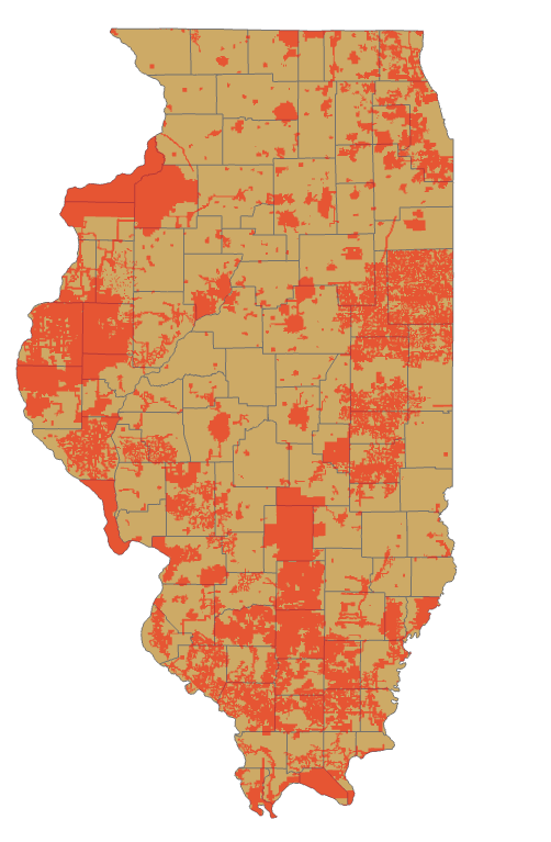
“The opportunity to move away from grids to polygons is gaining steam across Illinois,” according to Jeff Nelson, Director of IT and Member Services at JULIE. “We currently have 19 counties that have 5 or fewer JULIE members with remaining grid databases. In addition to Logan County, three counties: Calhoun, Lawrence and Putnam, have just one remaining member with a grid database. Our department is aggressively working with JULIE members across the state to explain the benefits of migrating to polygons.”
JULIE staff is available year-round to assist our members with the process of converting their notification databases and reviewing how they receive their JULIE messages. While JULIE staff is able to use GIS or CAD data supplied by members for import into the Newtin system, this level of data is not required to convert. For members without GIS or other mapping data, JULIE staff can work with you to identify service areas on a map and create polygons encompassing those areas. Once polygons are created and confirmed as accurate, the polygons can be activated and the grids removed.
If your company or municipality is currently notified based upon a grid database and are interested in learning more or converting to polygons, please contact our Member Services Department at memberservices@julie1call.com or 815-741-5011.

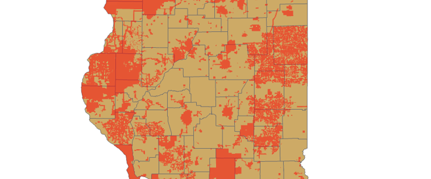
Map shows areas where members are still using grids in dark orange.


 CONTACT US